Atlas.
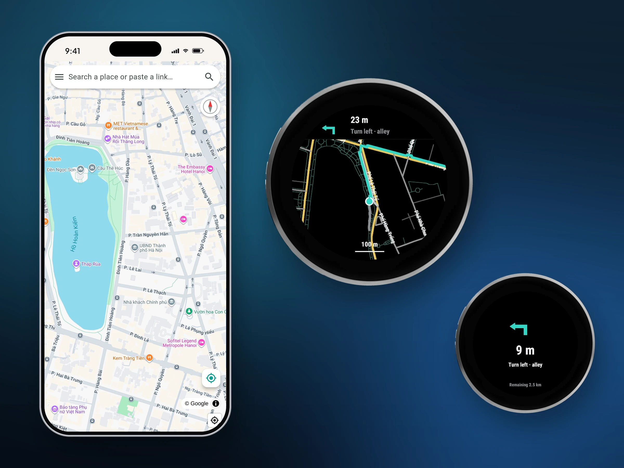
A real street map on your Garmin Venu 4, with turn-by-turn directions that keep working when the phone has no signal. Pick a place on your phone and it is on the watch a second later.
Beta. Venu 4 45 mm and 41 mm. The phone app is iPhone, installed through SideStore.
On the watch
What it does
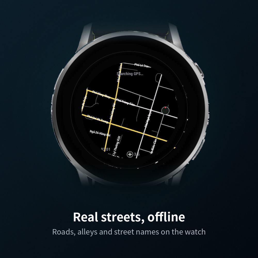
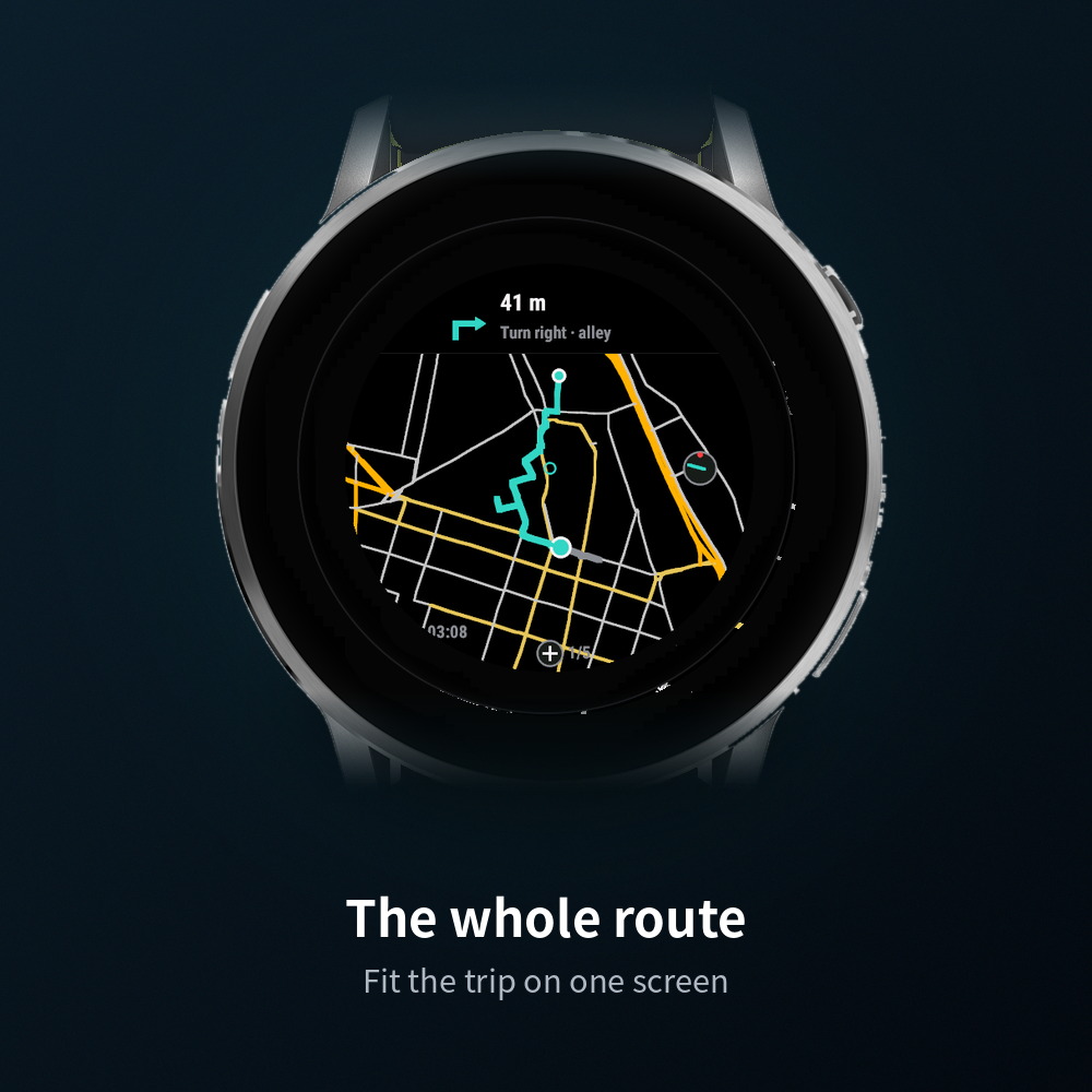
Roads, alleys and street names drawn on the watch from OpenStreetMap. Download a city once; after that it needs nothing.
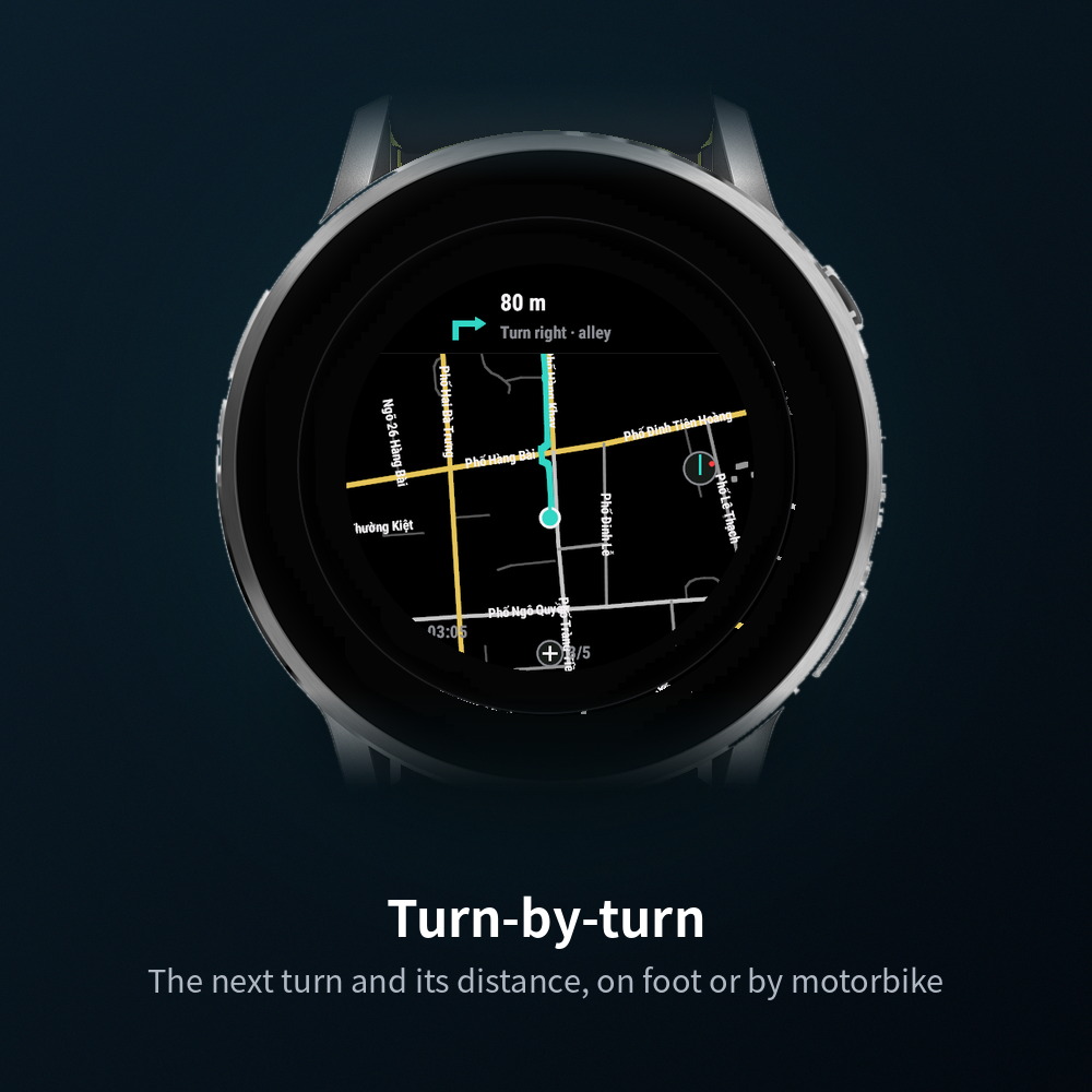
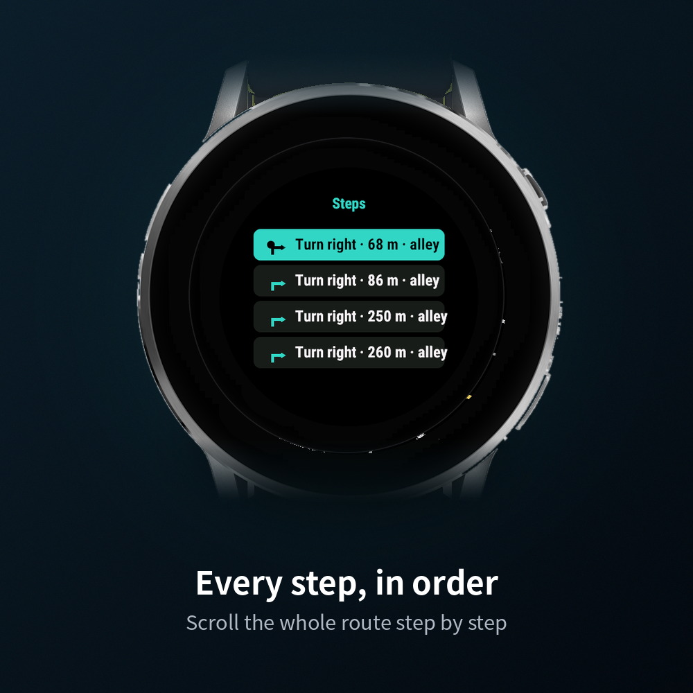
On foot or by motorbike: the next turn and its distance, a full-screen card and a strong buzz as it comes up, a new route if you go astray.
Search on the phone, or share a place from Google Maps or Apple Maps, and send it over Bluetooth. The watch asks to open and starts routing.
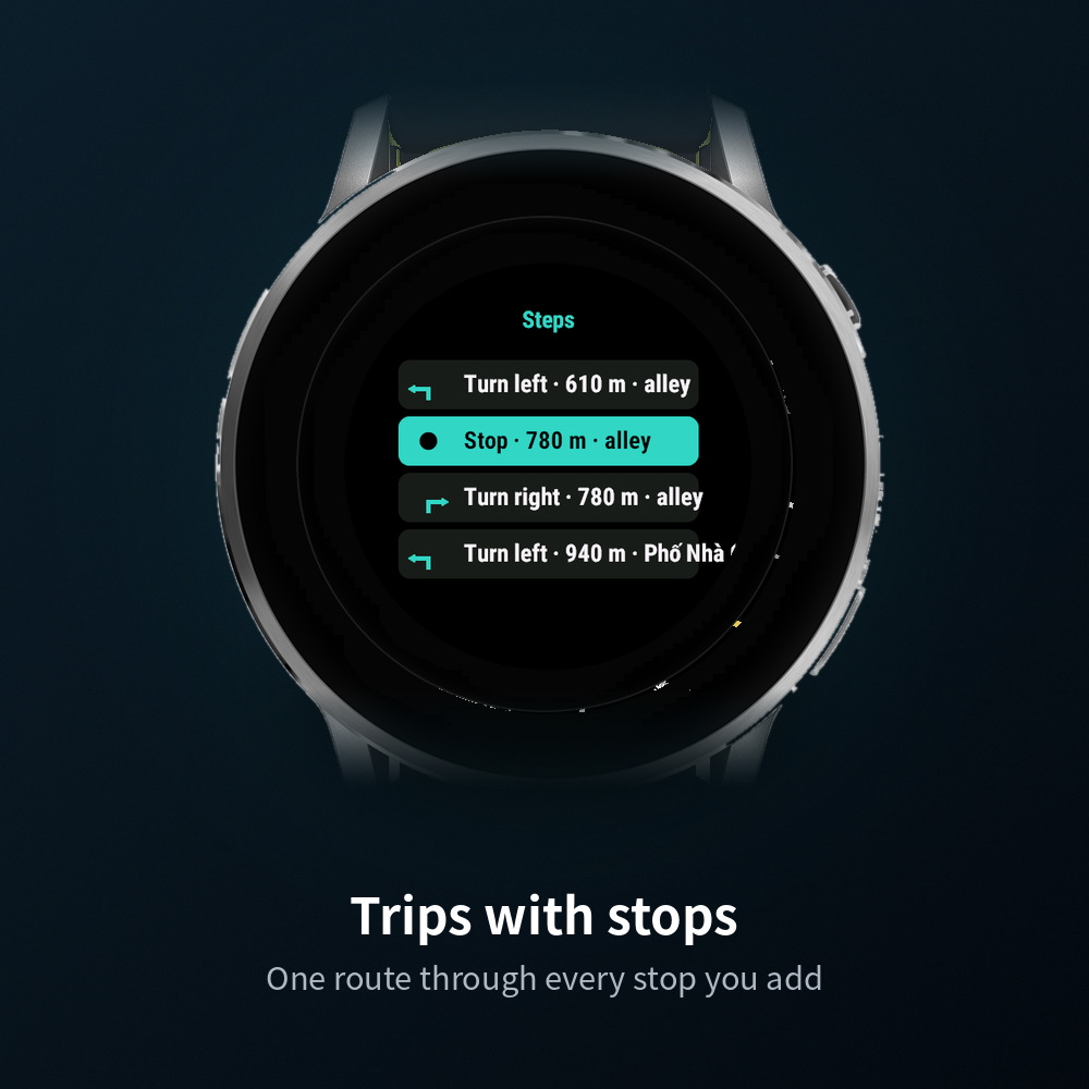
Add up to three stops; one route runs through them all and the watch calls each one out.
Without a network it points straight at the destination with the distance left. Map and GPS never needed one.
Leave the app mid-route and come back: the route resumes. Exit from the menu when you are done.
How it works
- Install the watch app from the Connect IQ link above, and the phone app from SideStore.
- Open Atlas on the watch. It downloads the map of the city you are in by itself (Hanoi inner city is 2 MB).
- Pair: watch menu → Phone shows a 6-digit code, type it in the phone app. Then tap the Bluetooth line on the phone's Watch page once.
- Send a place from the phone. On the watch, accept "Atlas · place" and follow the route.
Maps available
More cities on request from the phone app: frame an area on the map and the server cuts it.